May 24, 2021 - Day Five, Flight Two
Flight to Taos Pueblo
|
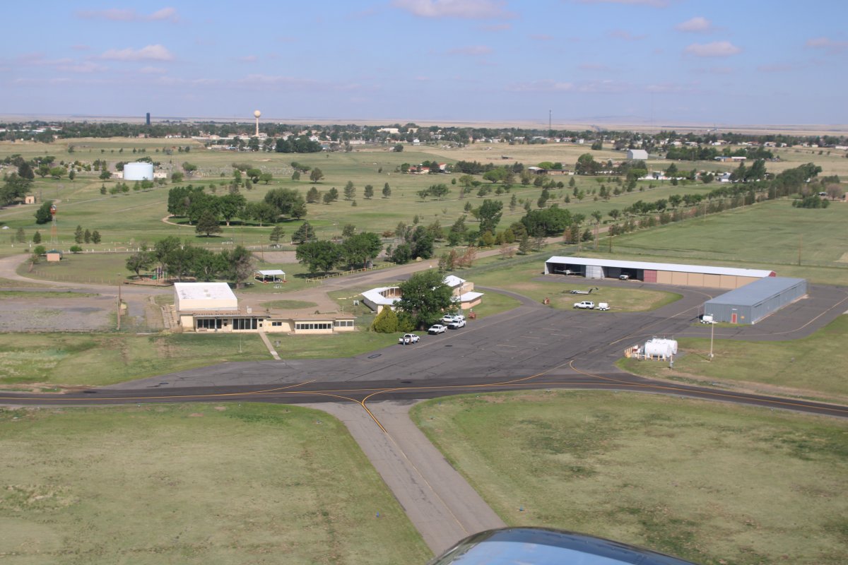
| Looking down at the FBO building/pilot's lounge at Clayton Airport (WCAO). Clayton Airport has a field elevation of 4,970 feet so I'm already up there in altitude. |
| |
 |
|
|
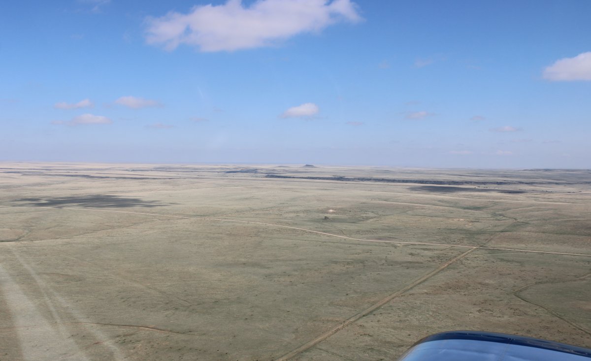
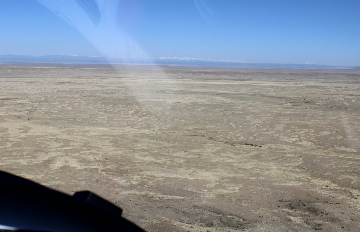
From Clayton I continued due west across some very dry country.
|
| |
 |
|
| |
| |
 |
|
|
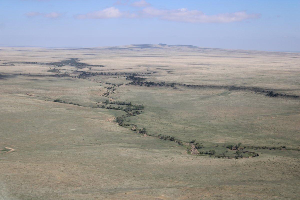
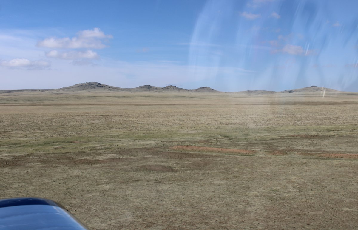
I was able to fly low but I could tell the ground was gradually rising.
|
| |
 |
|
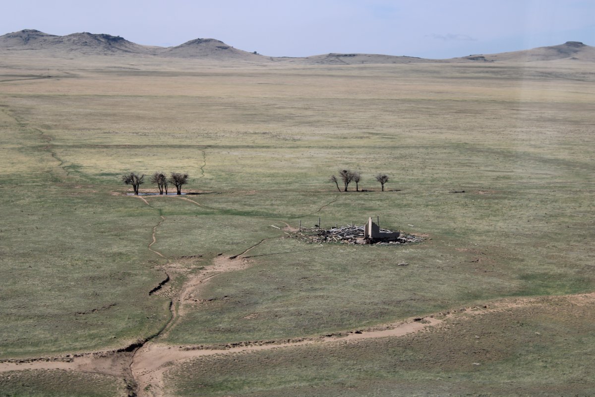
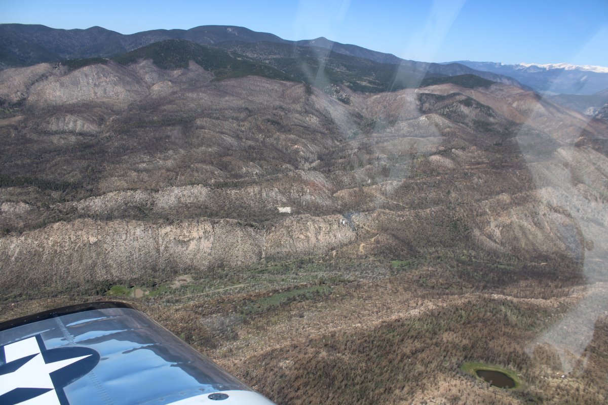
| Passing by a burnt-out homestead. |
| |
 |
|
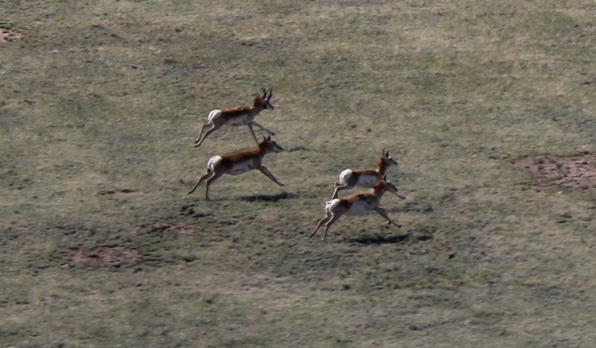
| On the prairie, I had seen the occasional pronghorn -- also known as American antelope -- which always ran as I approached. I finally was able to get a decent shot of some of them. |
| |
 |
|
| My first glimpse of the mountains ... |
| |
 |
|
|
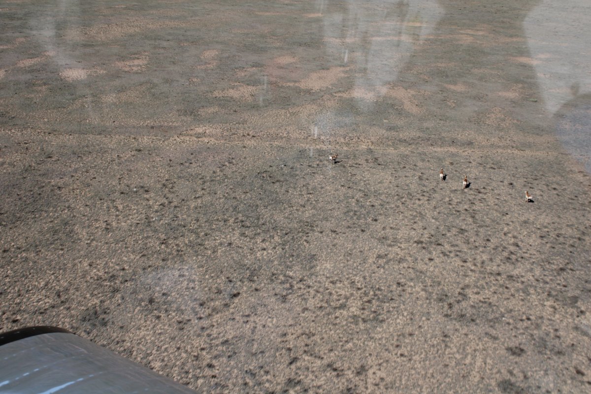
More pronghorns.
|
| |
 |
|
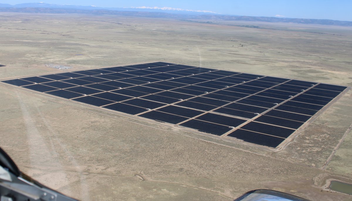
| Passing by a big solar panel array. |
| |
 |
|
|
|
| |
 |
|
| I was heading for Taos, New Mexico. But Taos is on the other side of this big mountain range ahead. |
| |
 |
|
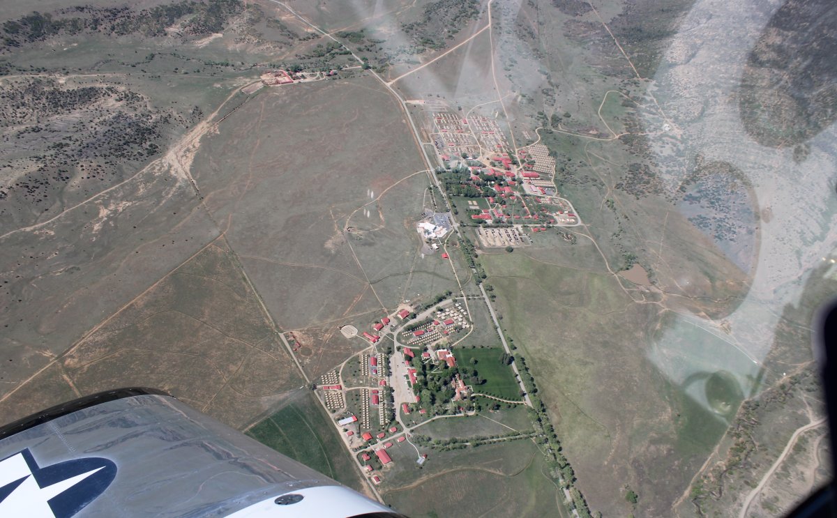
| Looking down at the famous Philmont Boy Scout Ranch. |
| |
 |
|
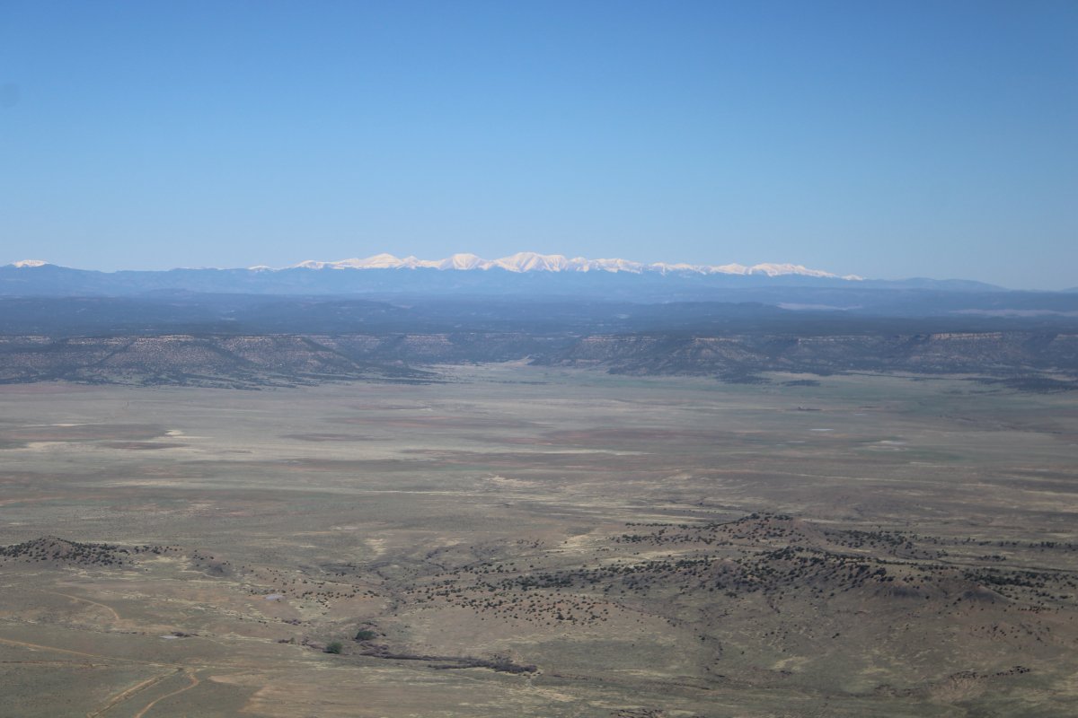
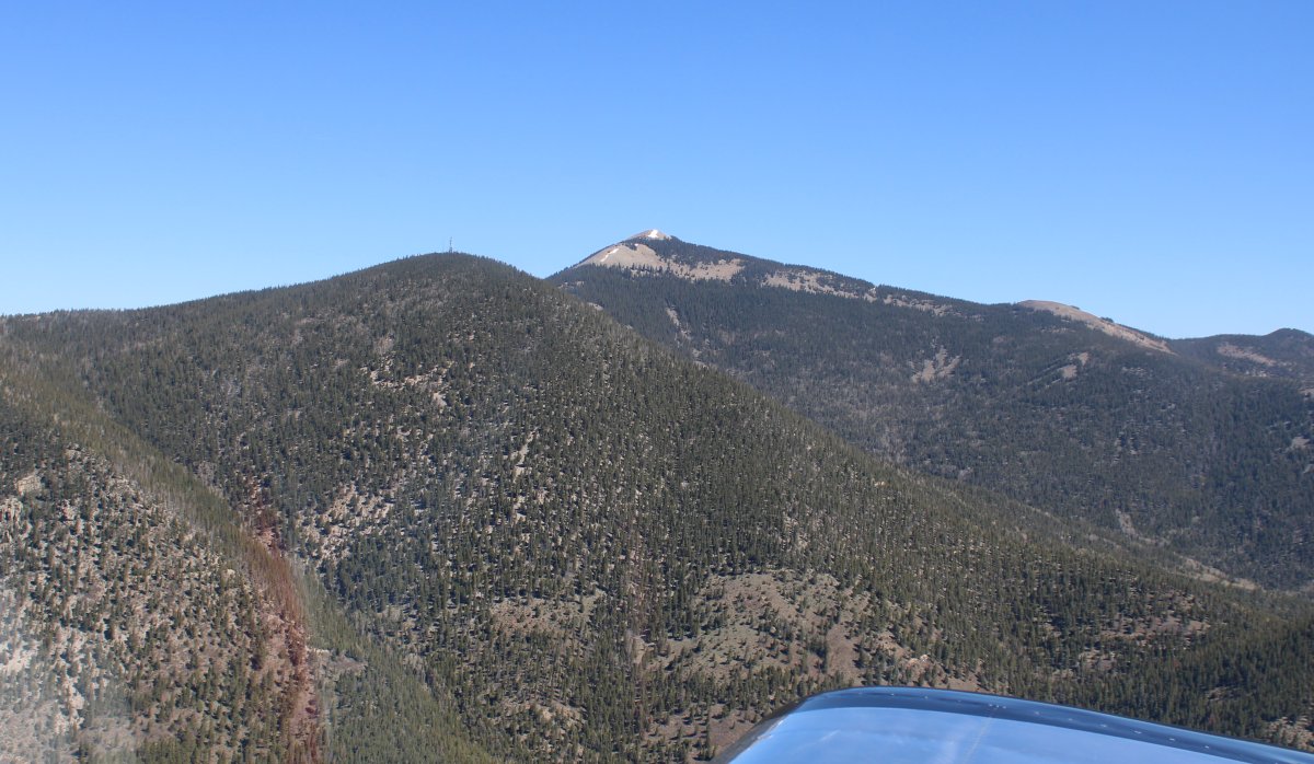
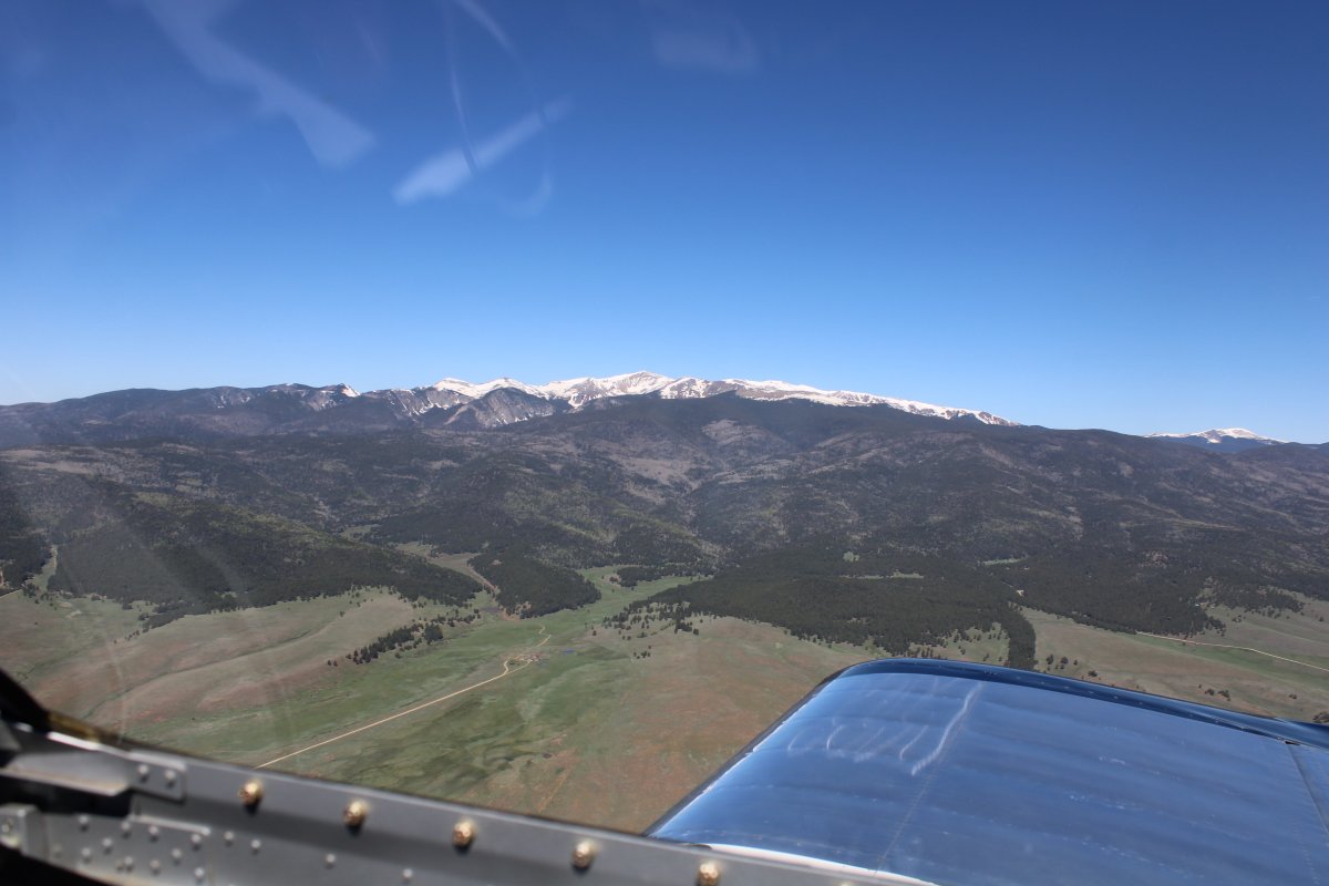
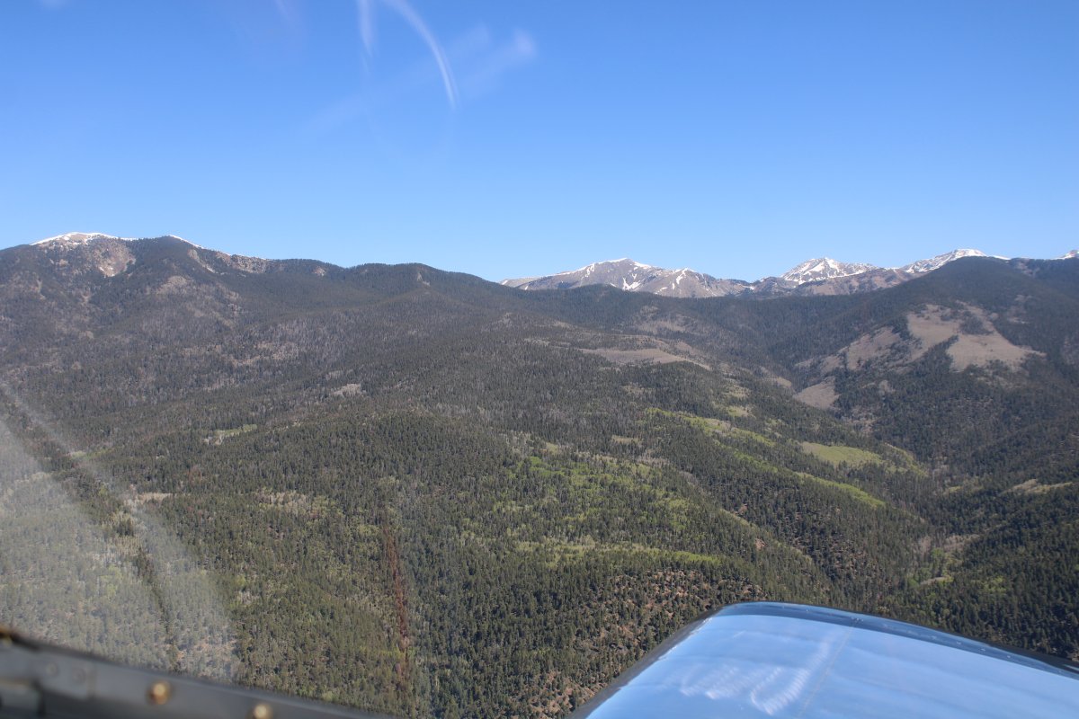
| I follow Highway 64 between a 12,441 foot mountain on the right -- Baldy Mountain, pictured below ... |
| |
 |
|
|
... and a 10,500 one on the left.
|
| |
 |
|
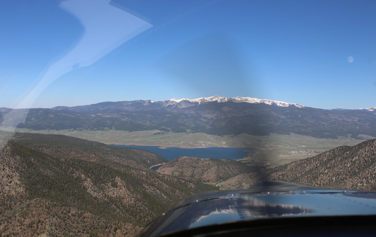
| Up ahead is Eagle Lake with a 13,000 footer in the distance. |
| |
 |
|
| Flying over Eagle Lake. |
| |
 |
|
| A closer look at Wheeler Peak, elevation 13,161 feet. Taos Ski Valley is on the northwest side of it. |
| |
 |
|
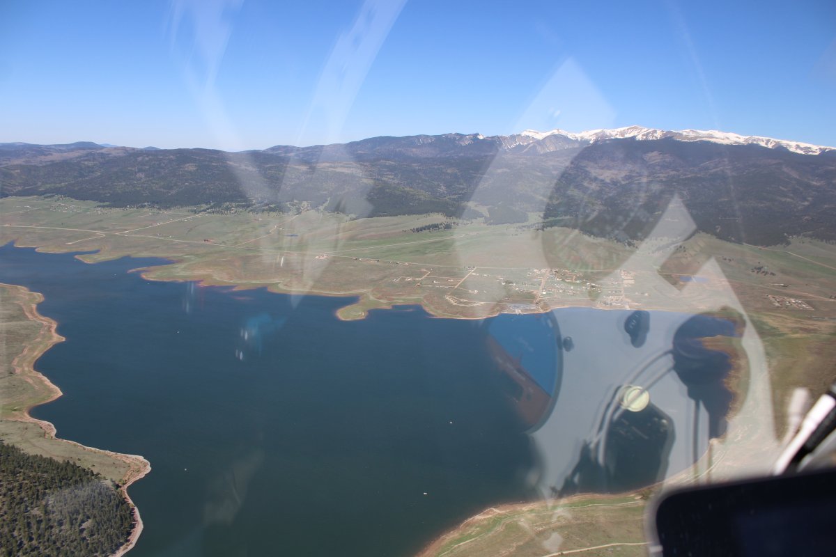
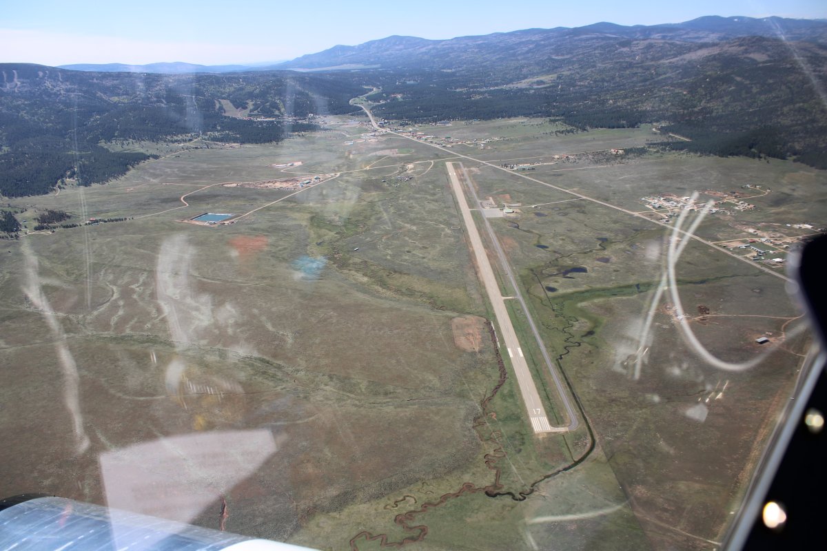
| Looking down at Angel Fire Airport (KAXX) at the southern end of Eagle Lake. Field elevation is 8,379 feet. They have self-service fuel there at a good price. |
| |
 |
|
|
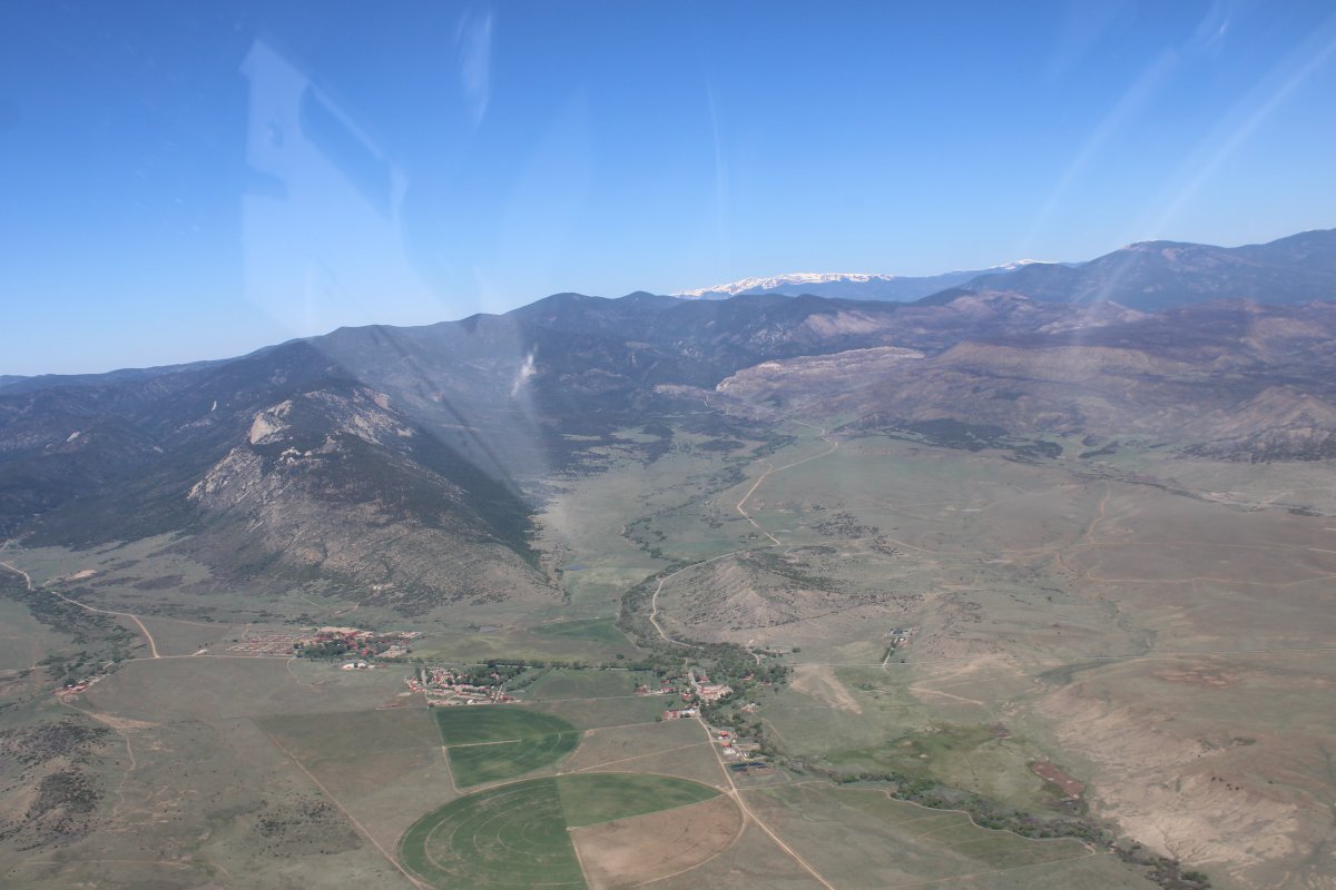
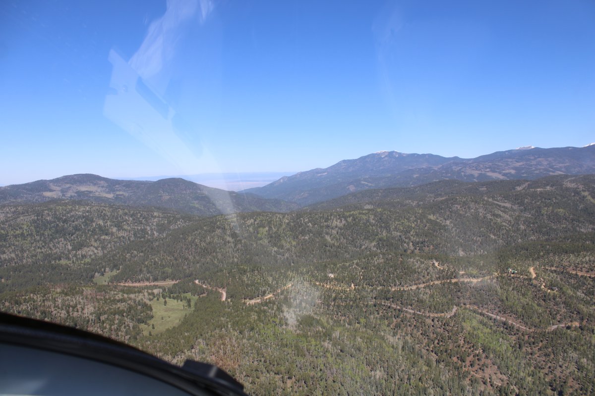
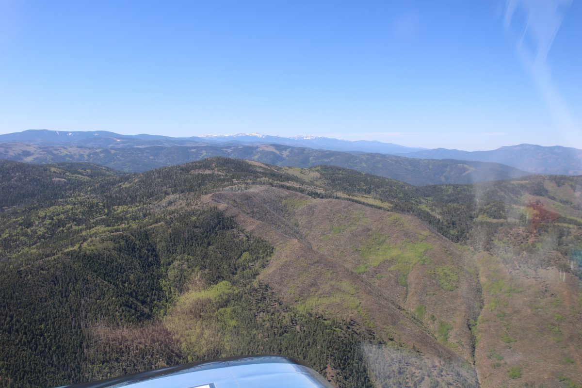
My plane has the performance to just go over all but the tallest mountains but I don't like climbing that high and prefer to go through the mountain passes. There was one on the chart to the west of Angel Fire Airport called Palo Flechado Pass. It went right to Taos. Pass elevation was 9,101 feet; not too bad.
Here, I'm heading straight for Palo Flechado Pass.
|
| |
 |
|
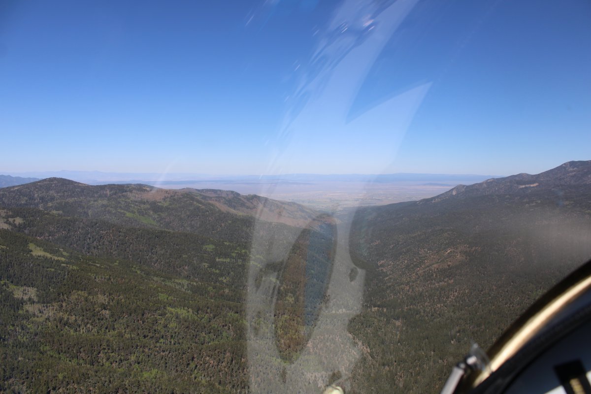
| Taos and a huge valley are just on the other side of the pass. |
| |
 |
|
|
Looking north as I hit the pass.
|
| |
 |
|
| Looking south. |
| |
 |
|
|
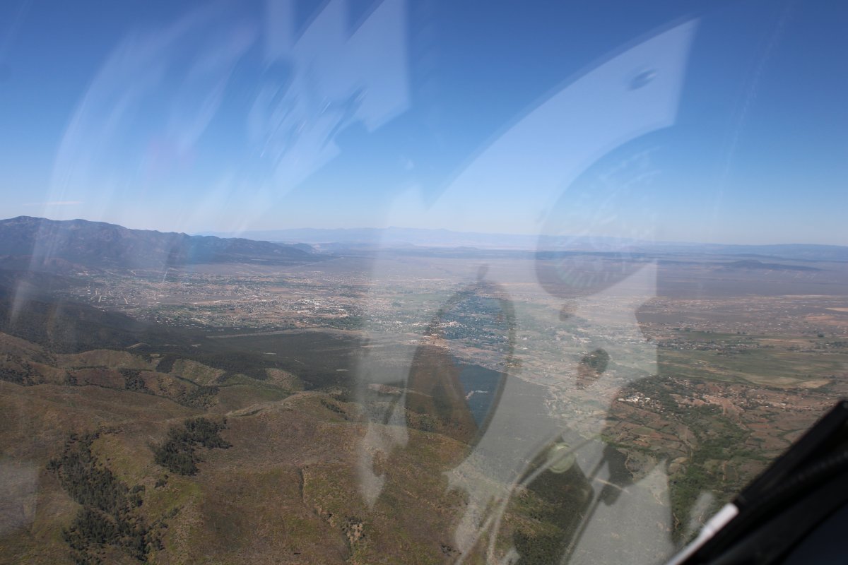
And I'm through! There is Taos, just to the south.
|
| |
 |
|
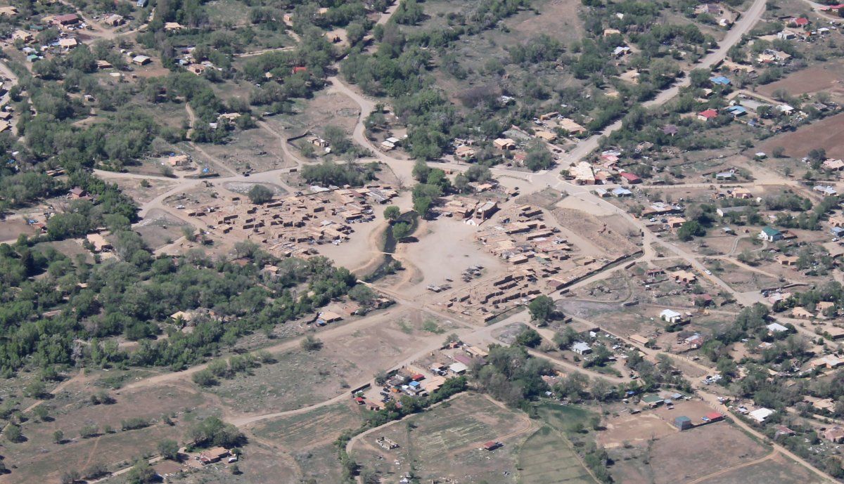
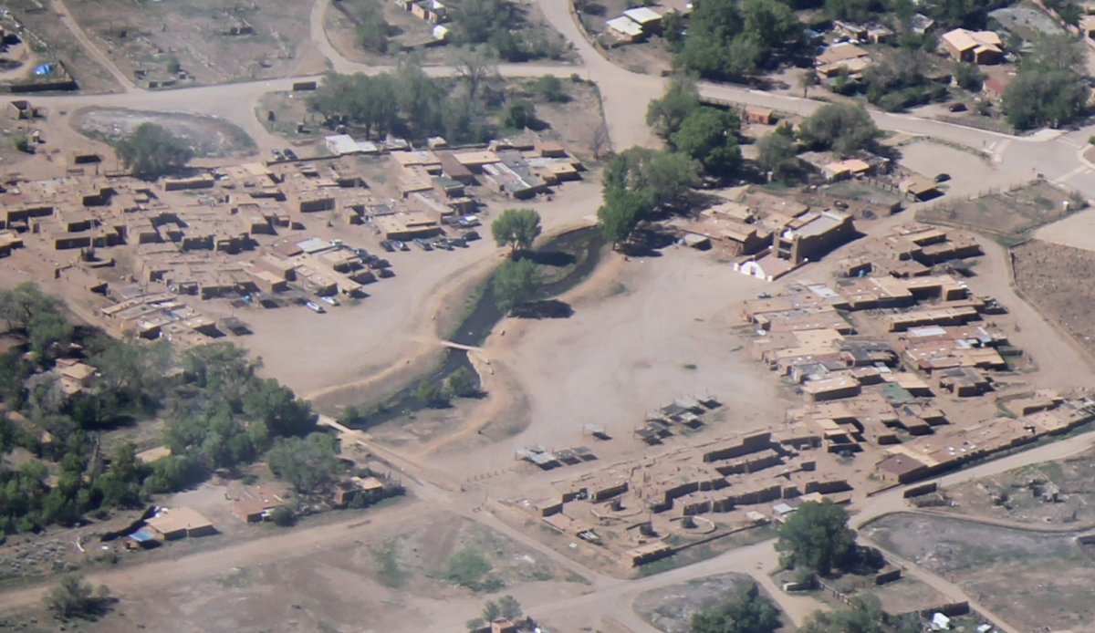
| There is Taos Pueblo, which was closed when Lynnette and I were in Taos back in early November. In fact, it is still closed as I write this. |
| |
 |
|
| Not too impressive from the air. The pueblos are considered to be one of the oldest continuously inhabited communities in the United States. Taos Pueblo has been designated a UNESCO World Heritage Site. |
| |
 |
|
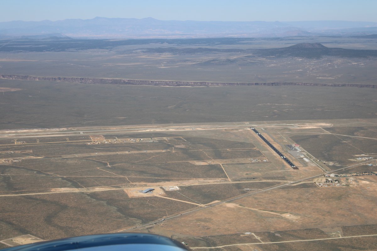
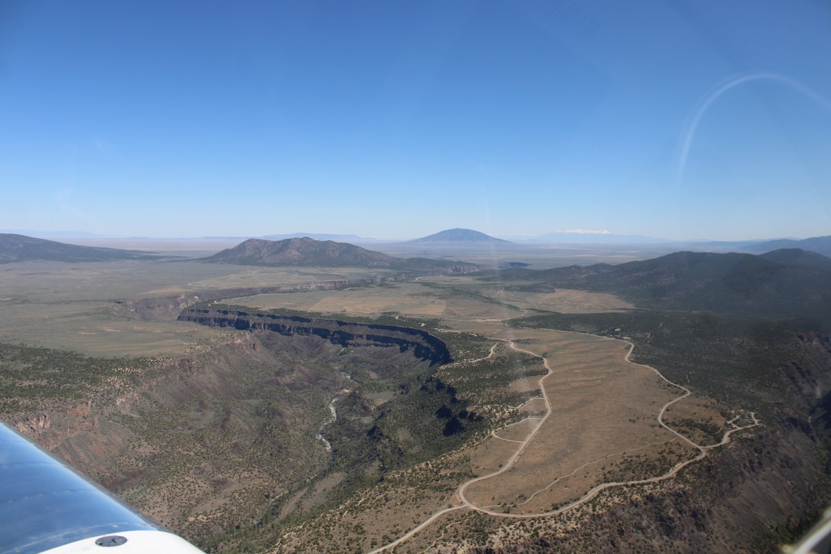
| To the northwest of Taos is Taos Regional Airport (KSKX). In the distance, the Rio Grande River Gorge is visible. |
| |
 |
|
|
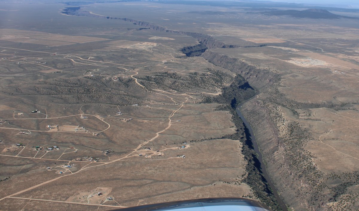
A good look at the Rio Grande River Gorge, looking south. Yes, this is the same Rio Grande River that forms much of the United States - Mexico border and runs all the way to the Gulf of Mexico.
|
| |
 |
|
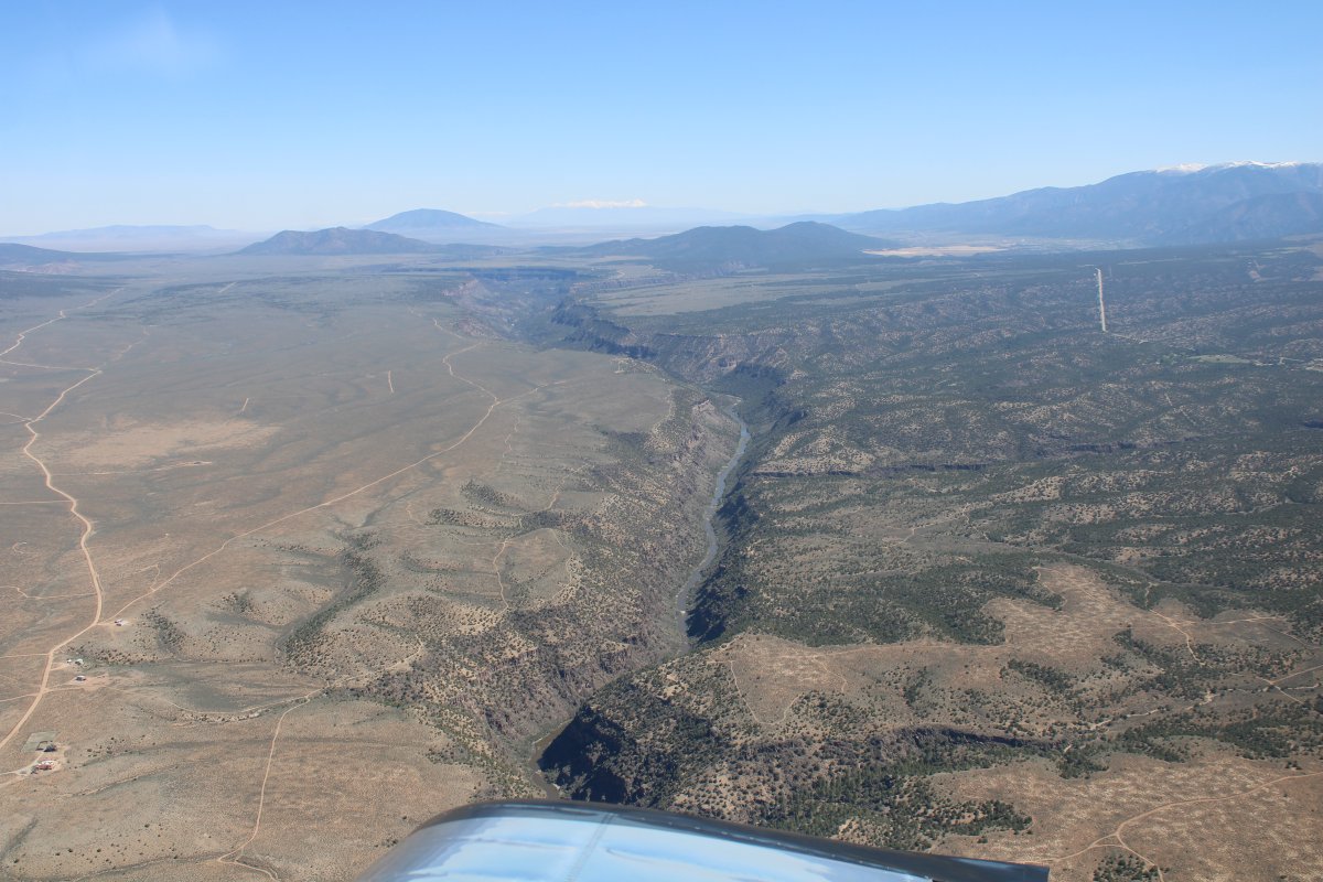
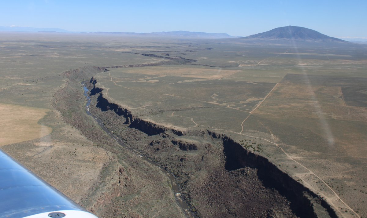
| And looking north. |
| |
 |
|
|
I head north following the Rio Grande River.
|
| |
 |
|
| |
| |
 |
|
| Looking east at the Sangre de Cristo Mountains. |
| |
 |
|
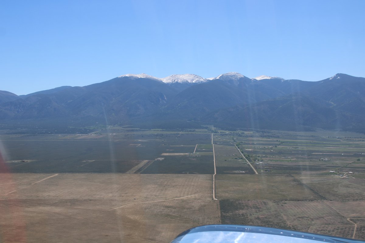
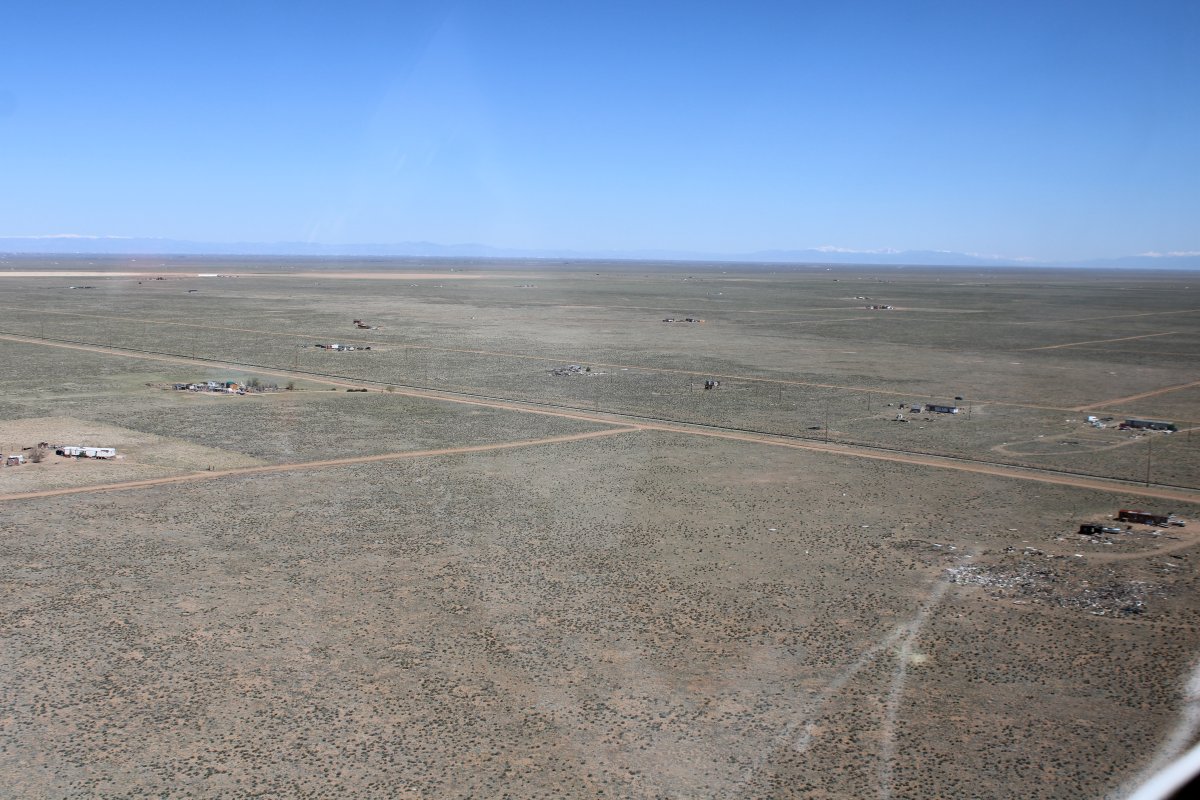
| Flying low over the high desert. Even though I'm only 100 feet above ground level here, I'm at 7,500 feet mean sea level! |
| |
 |
|
|
|
| |
 |
|
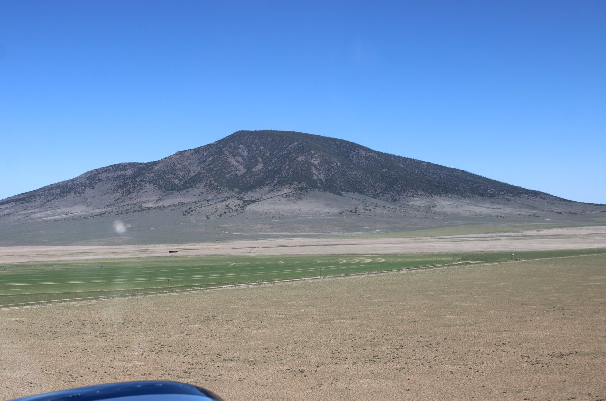
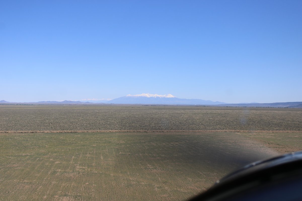
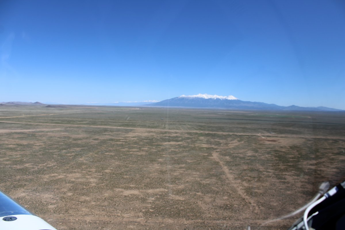
I'm heading due north now, towards Blanca Peak -- a 14,351 foot mountain -- and the Great Sand Dunes.
|
| |
 |
|
|
|
| |
 |
|
| |
| |
 |
|
| Approaching Blanca Peak. |
| |
 |
|
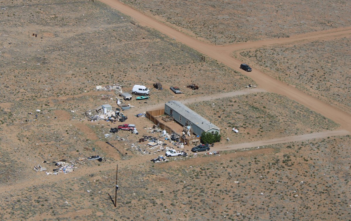
| Living in a trailer out on the high desert; tough living. |
| |
 |
|
|
A picture is worth a thousand words.
|
| |
 |
|
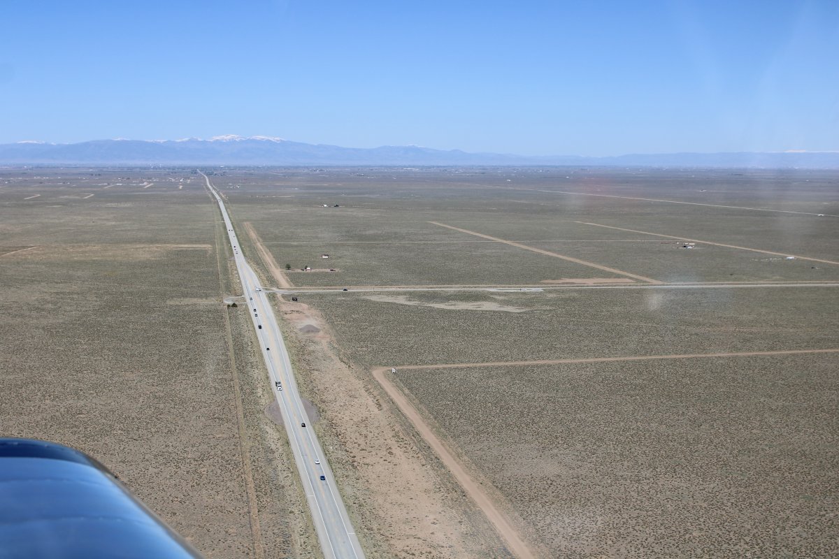
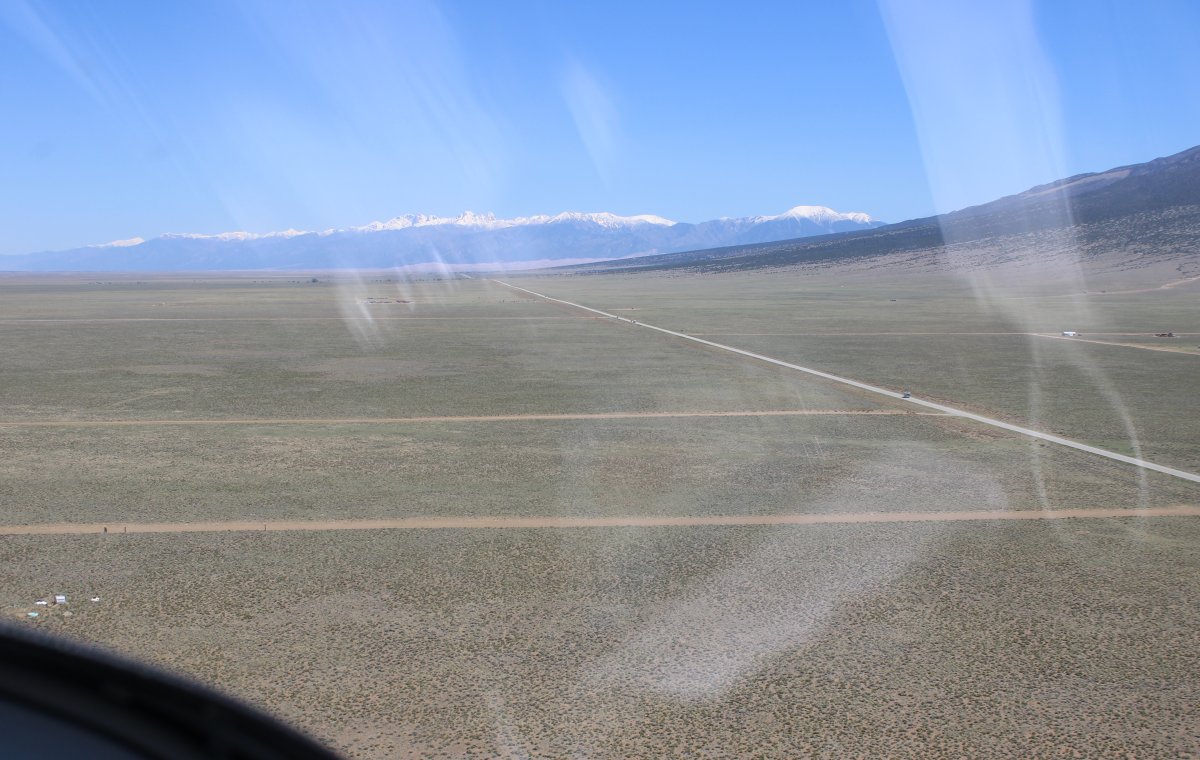
| Looking west down Highway 160 towards Alamosa. I am in Colorado now. |
| |
 |
|
|
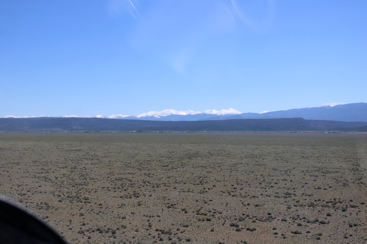
Following Highway 150 north towards the Great Sand Dunes, just visible in the distance at the base of that mountain range which contains another 14,000+ mountain: Crestone Peak.
|
| |
 |
|
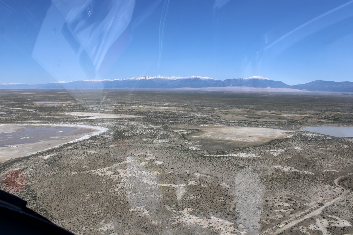
| Some interesting terrain along the way to the Dunes. |
| |
 |
|
| |
| |
 |
|
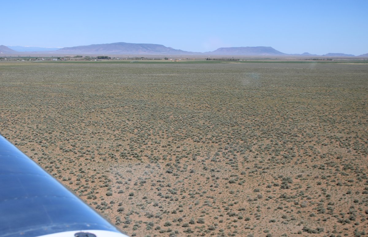
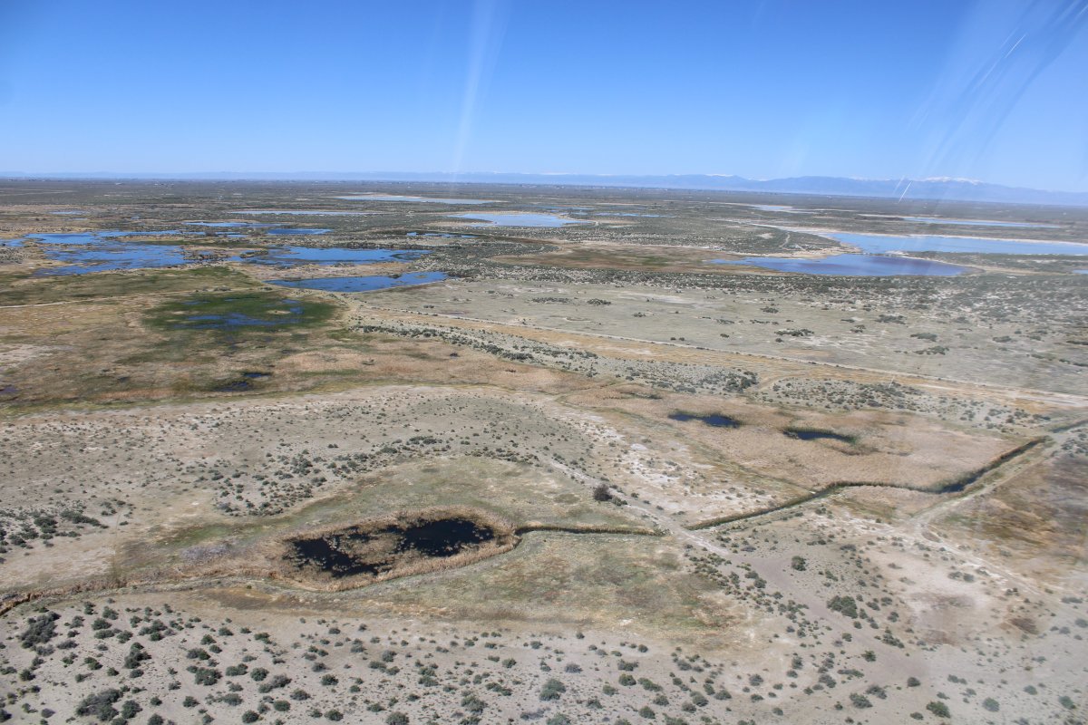
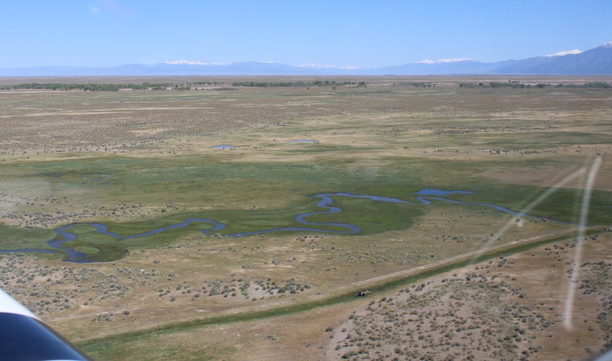
| Looking west across the high desert valley. |
| |
 |
|
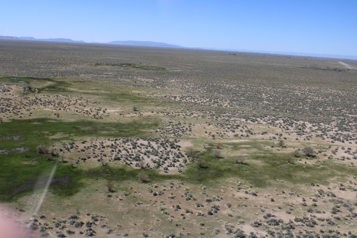
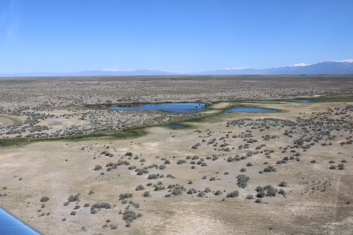
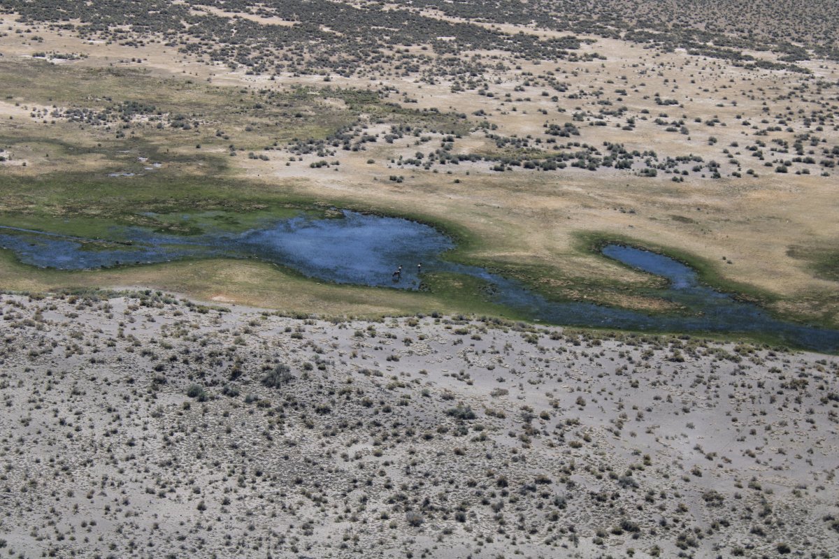
| Where there's water, there is green. |
| |
 |
|
|
|
| |
 |
|
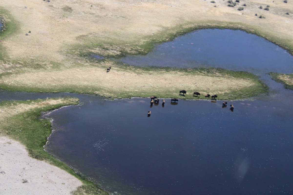
| Buffalo! |
| |
 |
|
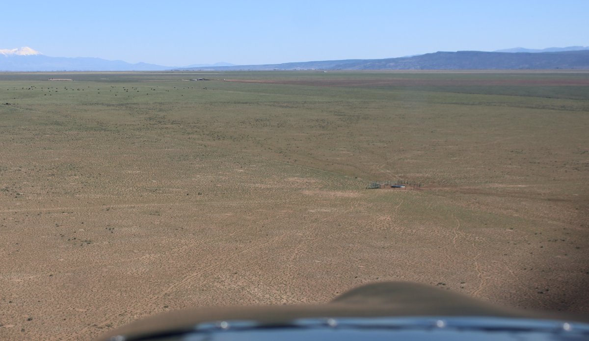
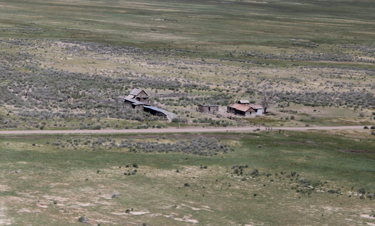
| Old, abandoned ranch. |
| |
 |
|
| |
| |
 |
|
| |
| |
|
|
|
|
|
|